
View from the road to Cherapunjee, Meghalaya Province
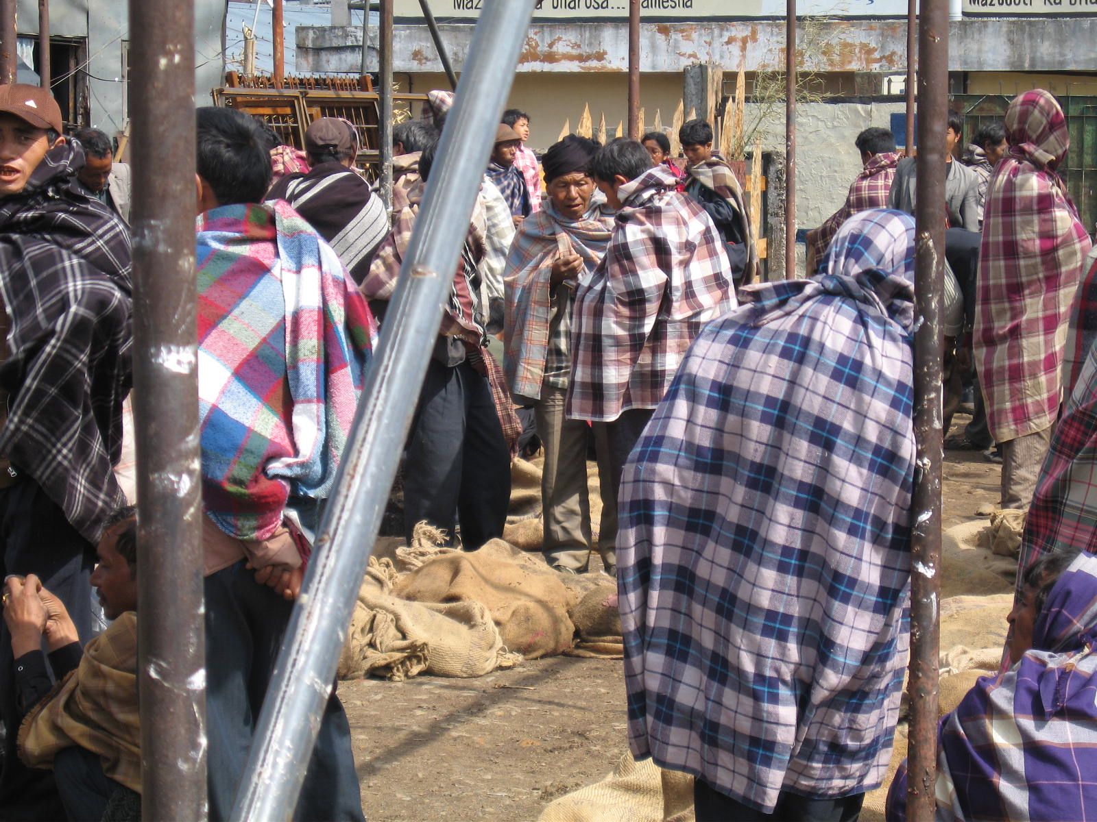
Here are a few more images from my trip. I flew from Delhi to Guwahati, where Professor Purkayastha met me at the airport with Clarence, the Principal of St. Anthony’s driver. Guwahati is located on the banks of the Brahmaputra River in Assam Province. We drove for about three and a half hours from the scorching plains into the cool of the mountains. Shillong is located an elevation of 5000 feet in Meghalaya Province. In sanskrit, Meghalaya means “Abode in the Clouds.” Meghalaya is a tribal region, which means that it’s population is predominantly indigenous and that there are strict restrictions on the ownership of property that are designed to limit the influence of outsiders — which in this instance means Bengali and Hindi speaking Indians. The largest tribes in the region are the Khasi and the Garo.
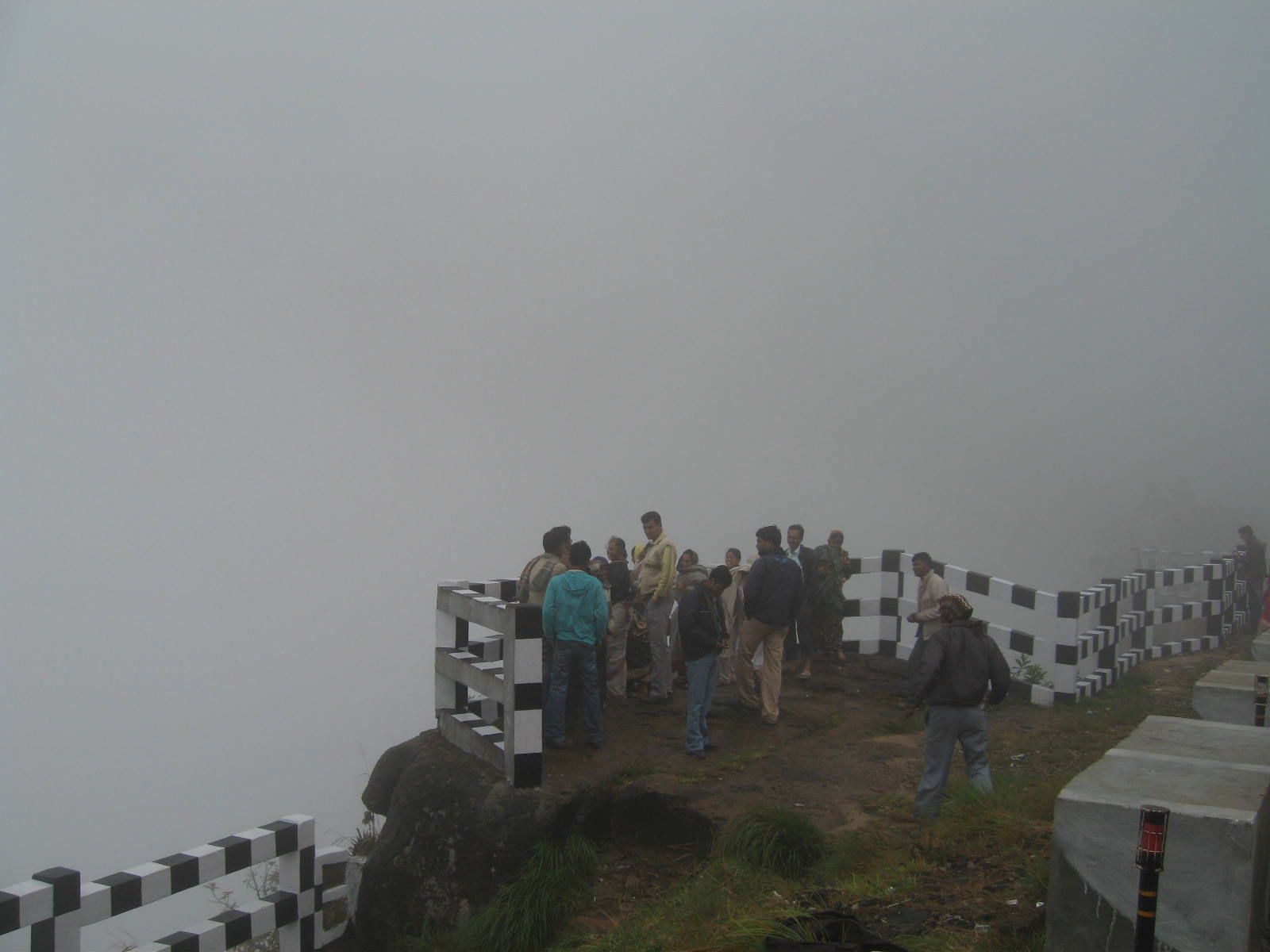
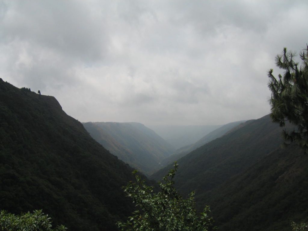
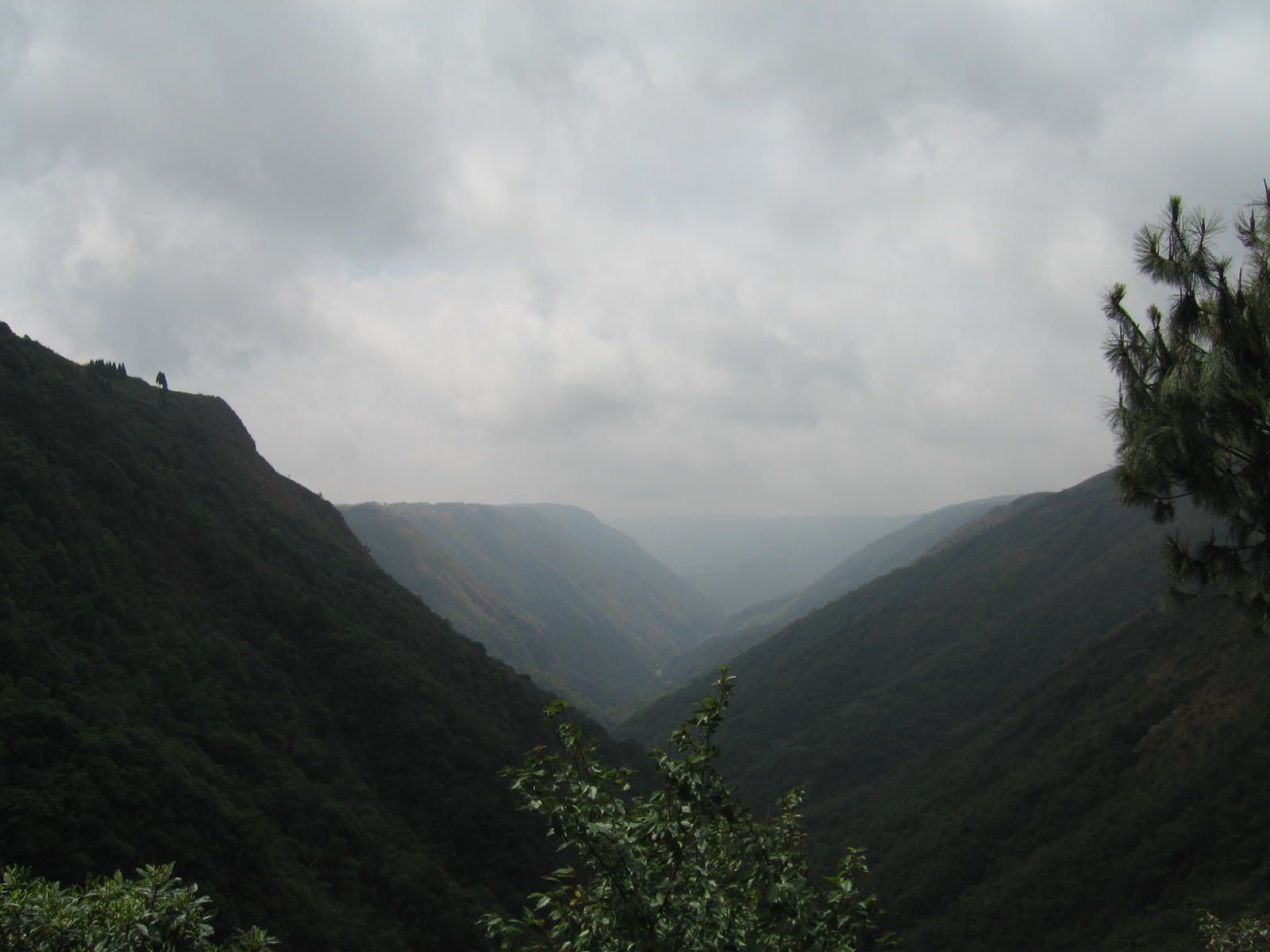
On a clear day, you can see the plains of Bangladesh from Cherapunjee. But Cherapunjee, the rainiest spot on earth, is rarely clear.
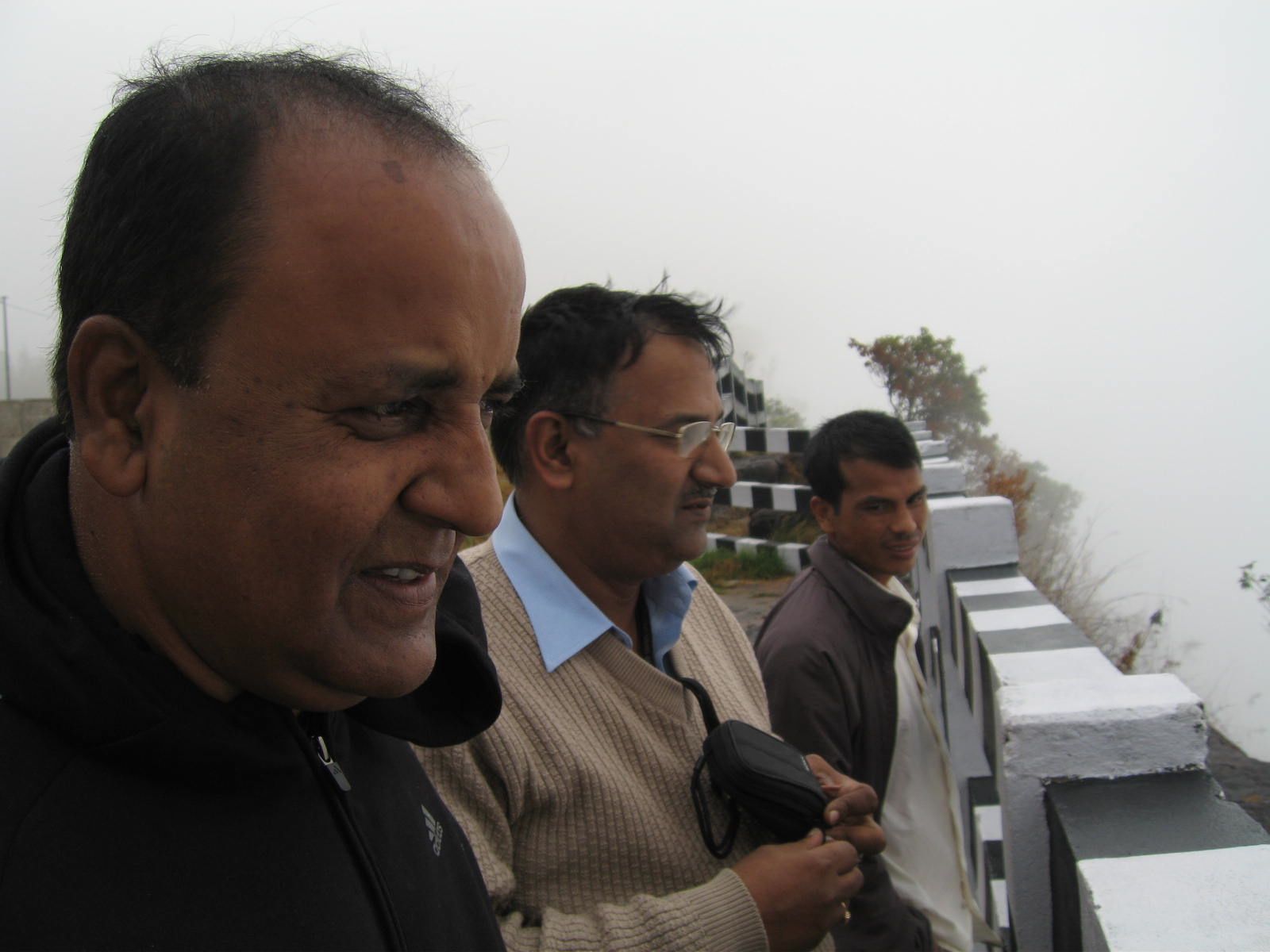
Professor Purkayastha, Professor Rao and Clarence looking for Bangladesh. The rains in Cherapunjee flow into the Bangladeshi plains, often with disastrous consequences.
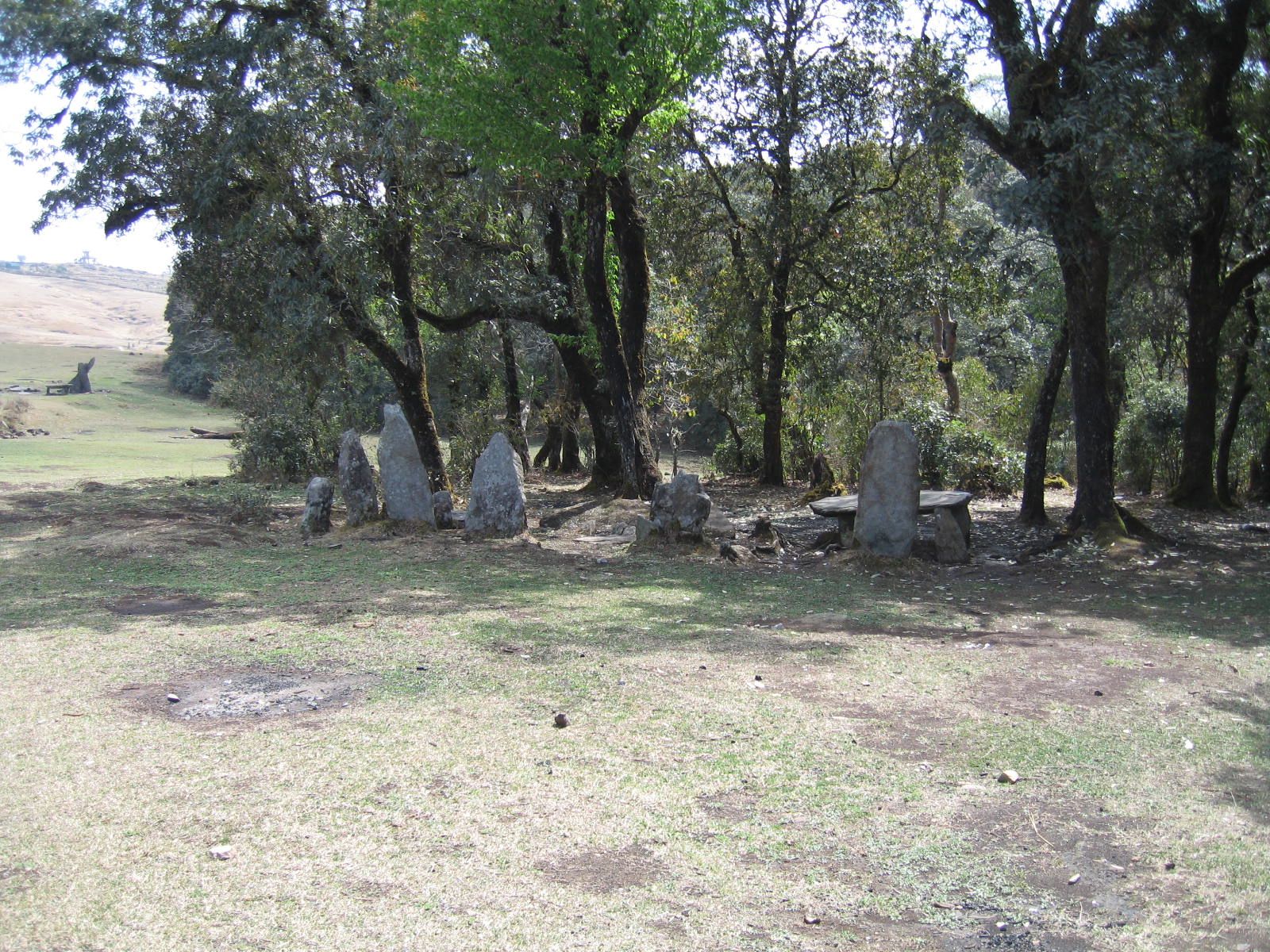
Megaliths at Mawphlang, Khasi Sacred Grove
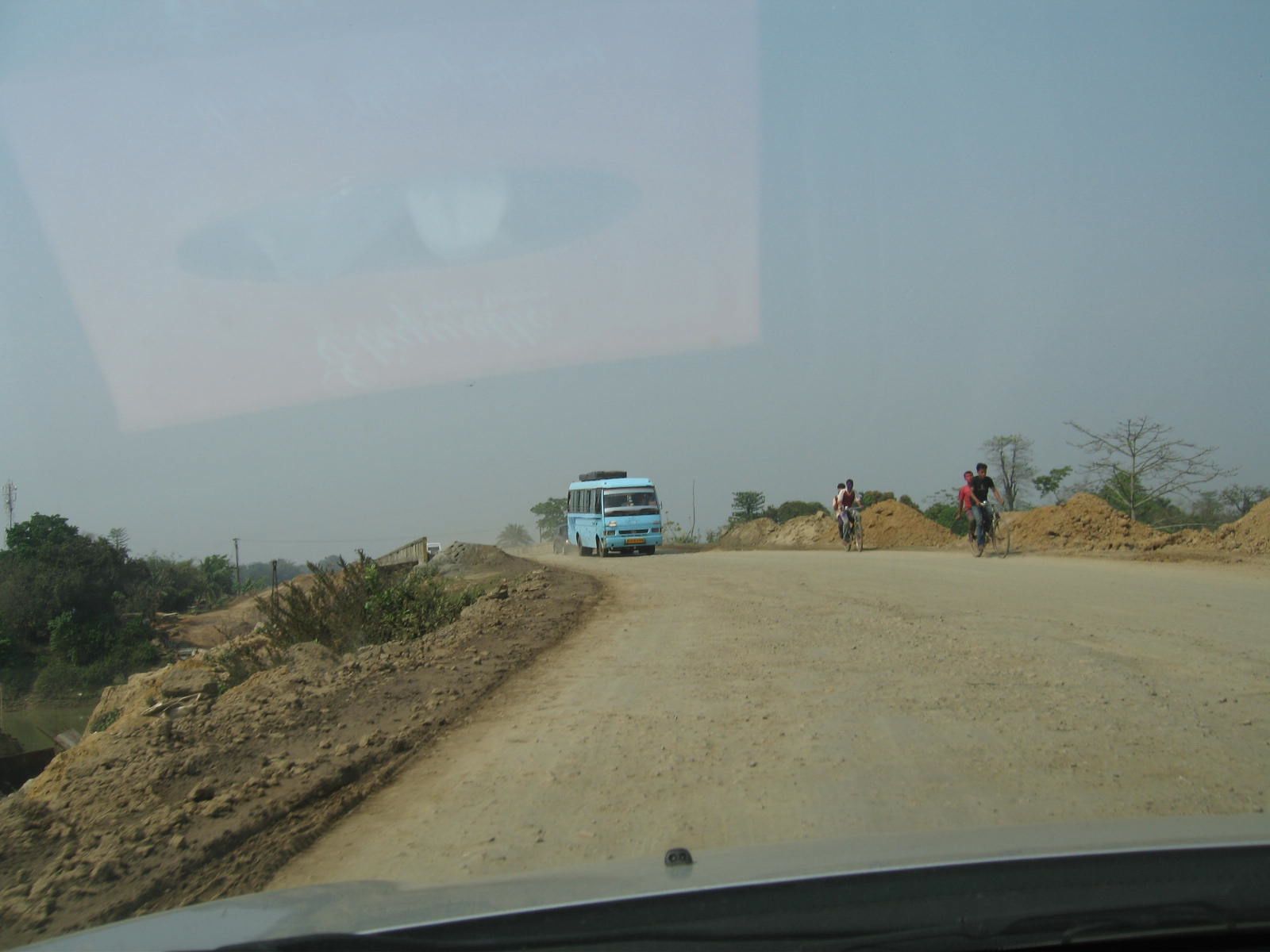
Travelling through Assam on the new highway
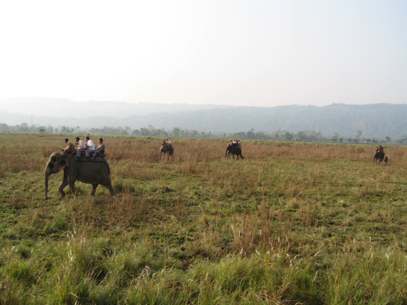
Safari on all-terrain "vehicles", Kaziranga National Park, Assam
Looking for rhinos, Assam Province

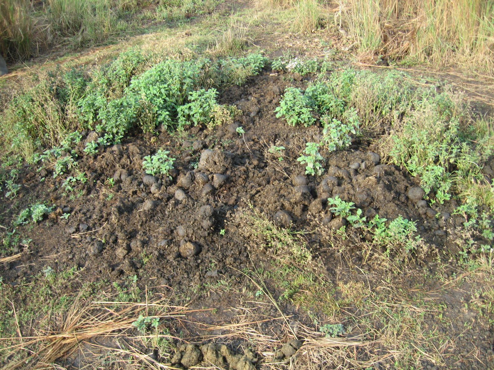
Breakfast
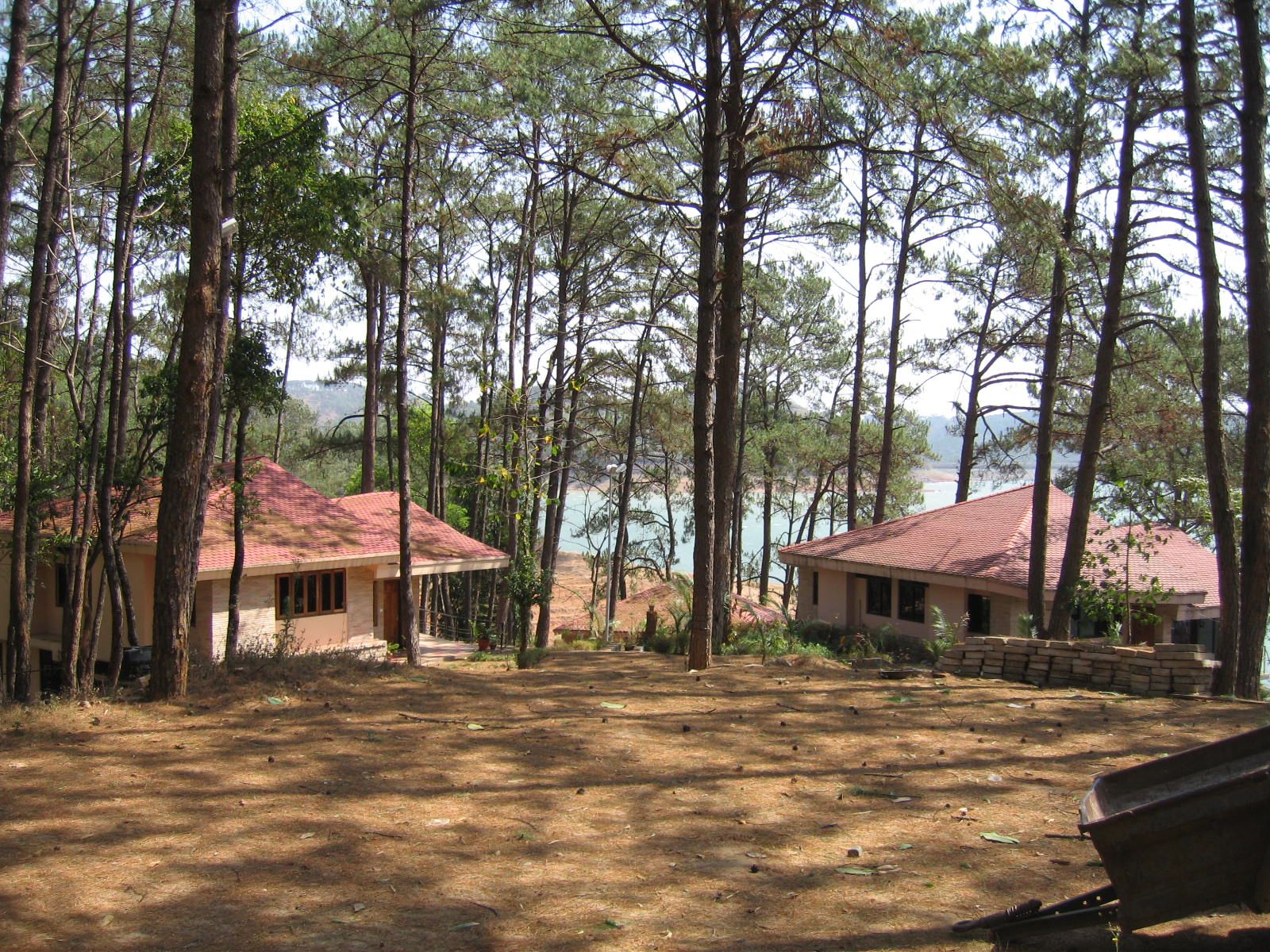
Siloam retreat center, Baripani (outside Shillong), proposed site of Wooster in Northeast India program
This is beautiful Peter!
Now I have an image of the blankets-as-coats style you described earlier. I like it. You are being very understated about your long drives! Good to see Rakhal again. Such an adventure!